Taking a Topographic Survey Start-to-Finish with Mach9 Digital Surveyor
End-to-end feature extraction for a complex infrastructure project in California desert terrain, navigating irregular topography and poor delineation with Leica Pegasus TRK700 NEO.
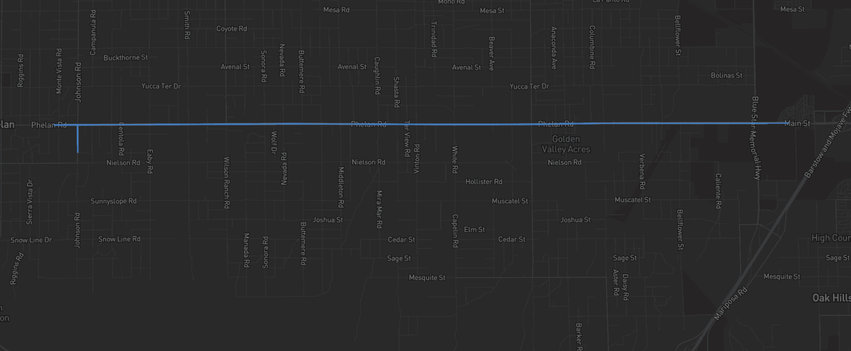
Modernizing the workflow at scale.
Langan Engineering and Environmental Services successfully completed a complex survey project from start-to-finish in Mach9’s Digital Surveyor. The Langan team efficiently navigated the challenges of the California desert terrain environment while delivering accurate and high quality planimetric maps for a 9-mile infrastructure design-grade project. Feature extraction for the entire project was completed in Digital Surveyor, demonstrating the production platform’s capability to support survey-grade projects with comprehensive geospatial workflows.
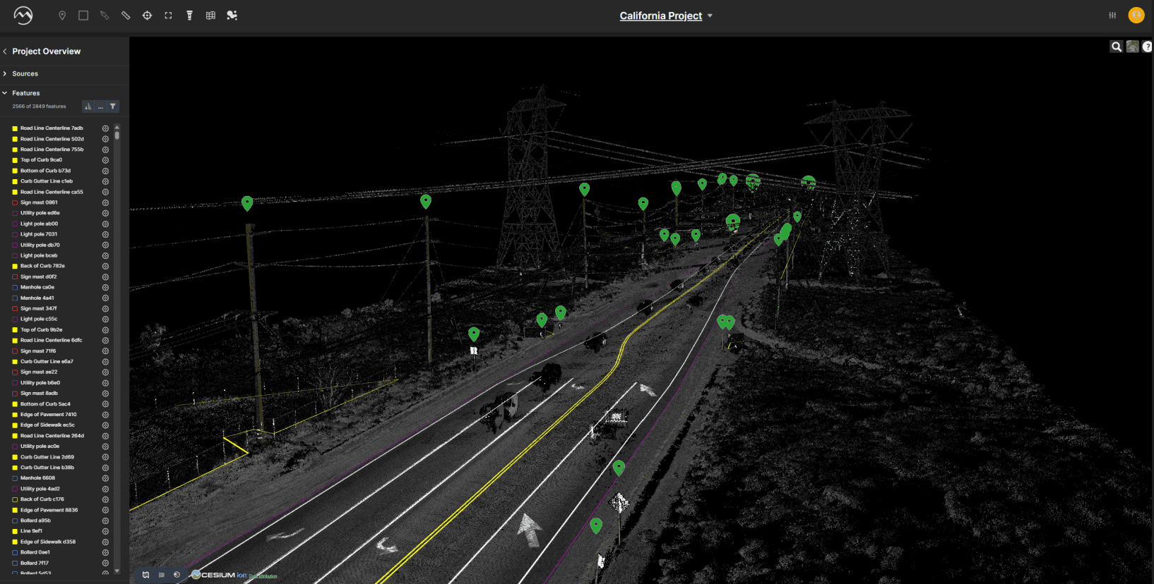
What made this hard.
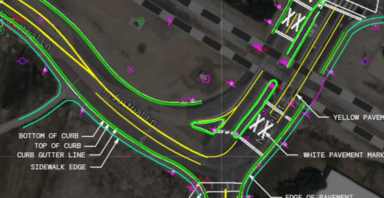
Surveying in California’s desert areas presents unique challenges, such as broken lines, poor delineation, and irregular topography. This project required precise mapping of curb, edges of pavement, road centerlines, utility poles, manholes, and additional point and vector features.
How we solved it.
Russell Hall, PLS (Langan’s Mobile Mapping Manager), and his team strive to use the latest technology hardware and software to accelerate project timelines. That’s why, on this project, they combined the power of Leica Pegasus TRK700 NEO, which offers dual scanners with 1,000,000 measurements per second, with the speed of automated feature extraction in Mach9’s Digital Surveyor.
The entire survey feature extraction process was completed in Digital Surveyor, combining automation with manual QA/QC and drafting workflows to deliver high accuracy planimetrics. Key aspects of the workflow included:
- 01Automated feature extraction
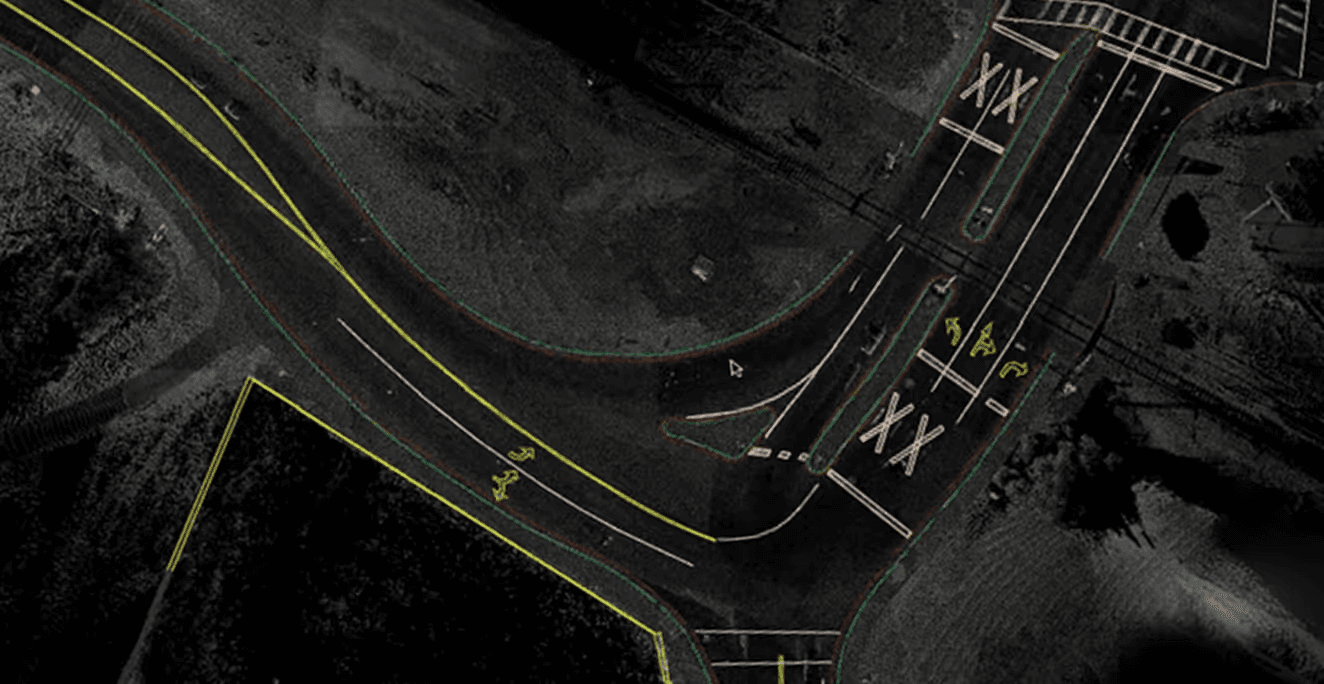
Digital Surveyor was able to automatically extract features including pavement striping, utility poles, manholes, bollards and more.
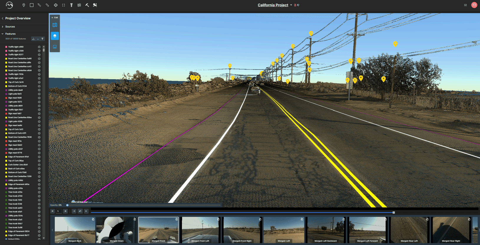
AUTOMATED FEATURE EXTRACTION IN DIGITAL SURVEYOR WITH QUICK IMAGES - 02Manual extraction for detailed features
Digital Surveyor offers manual alternatives for tasks not yet automated, allowing users to stay in one tool throughout the project. Hall’s team used the Manual Extraction Tool to convert complex structures into accurate 2D lines.
- 03Integrated QA/QC workflow
Some features (such as edges of pavement) required manual clean-up to ensure accurate delineation. The Cross-Section Tool provided reliable elevation points, offering high confidence in vertical measurements even when lines were broken or uneven.
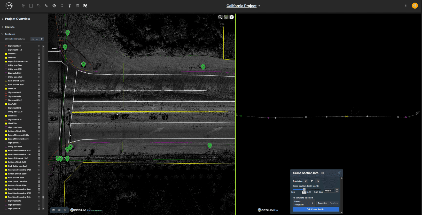
CROSS-SECTION TOOL IN DIGITAL SURVEYOR
The combination of automated extraction and manual workflows allowed the Langan mobile mapping team to efficiently navigate the challenges of the sandy terrain while maintaining control over feature accuracy.
Exports designed to integrate into your existing project workflows.

The outcome.
Hall and his team completed the challenging project end-to-end in Mach9’s Digital Surveyor, delivering ahead of schedule, without sacrificing accuracy. Digital Surveyor enabled rapid, automated feature extraction from mobile mapping systems delivering high-fidelity vector data in a fraction of the time. Manual QA/QC and cleanup workflows ensured a smooth transition for export to CAD, supporting seamless integration into existing engineering design environments.

We have encountered never before seen terrain difficulties, and yet, we managed to finish the project a week before the original deadline and 30% under budget.

Digital Surveyor works with the data you already collect.





Hall and his team have been providing valuable feedback on functionality as they continue to expand their use of Digital Surveyor. Based on their feature requests, the Mach9 team developed new functionality such as global resampling, to more efficiently refine perception results, and global merging to streamline joining of broken line cases.
At Mach9, we are committed to continuous improvement and are actively incorporating feedback from users like Hall and his team to address the needs of the surveying and geospatial industry.

Langan Engineering provides an integrated mix of engineering and environmental consulting services in support of land development projects, corporate real estate portfolios, and the energy industry. Their clients include developers, property owners, public agencies, corporations, institutions, and energy companies around the world.

Mach9 is a geospatial technology company focused on automating feature extraction from mobile mapping data. Designed for engineering teams, Mach9’s AI-driven tools help convert LiDAR and imagery into accurate, actionable GIS and CAD-ready outputs, improving asset visibility, accelerating project timelines, and enhancing infrastructure management. Mach9 supports clients across transportation, utilities, and public works sectors seeking to scale asset intelligence and automate survey-grade data processing.
More case studies
See all →
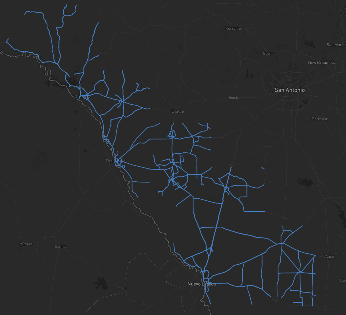
Turning Roadway Assets into Actionable Data for State DOT

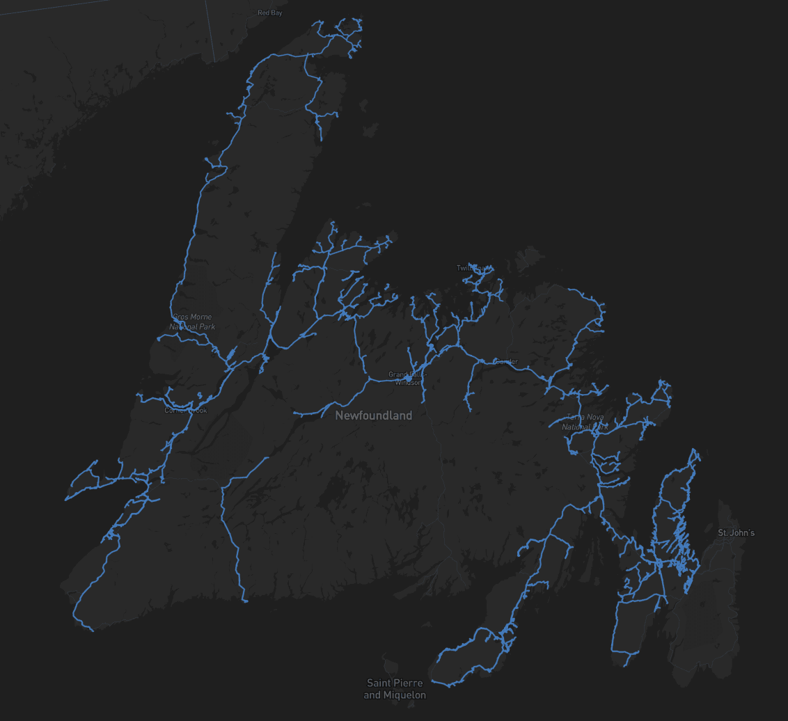
Accelerating Rural Broadband Expansion Through Automation and Visibility

Data Collection First, Decisions Later: A Smarter Way to Design Broadband
See how Digital Surveyor 2 handles your data.
Send us a sample dataset. We'll extract it and return deliverables free.