
Extract, validate, and deliver projects faster

 with Digital Surveyor

Built for mobile mapping
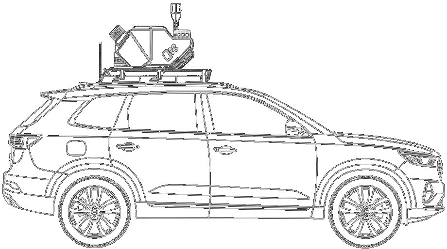
Digital Surveyor's data-agnostic ingest pipeline supports most major data formats from scanners by Riegl, Trimble, Leica, and NavVis.
AI-powered data analysis
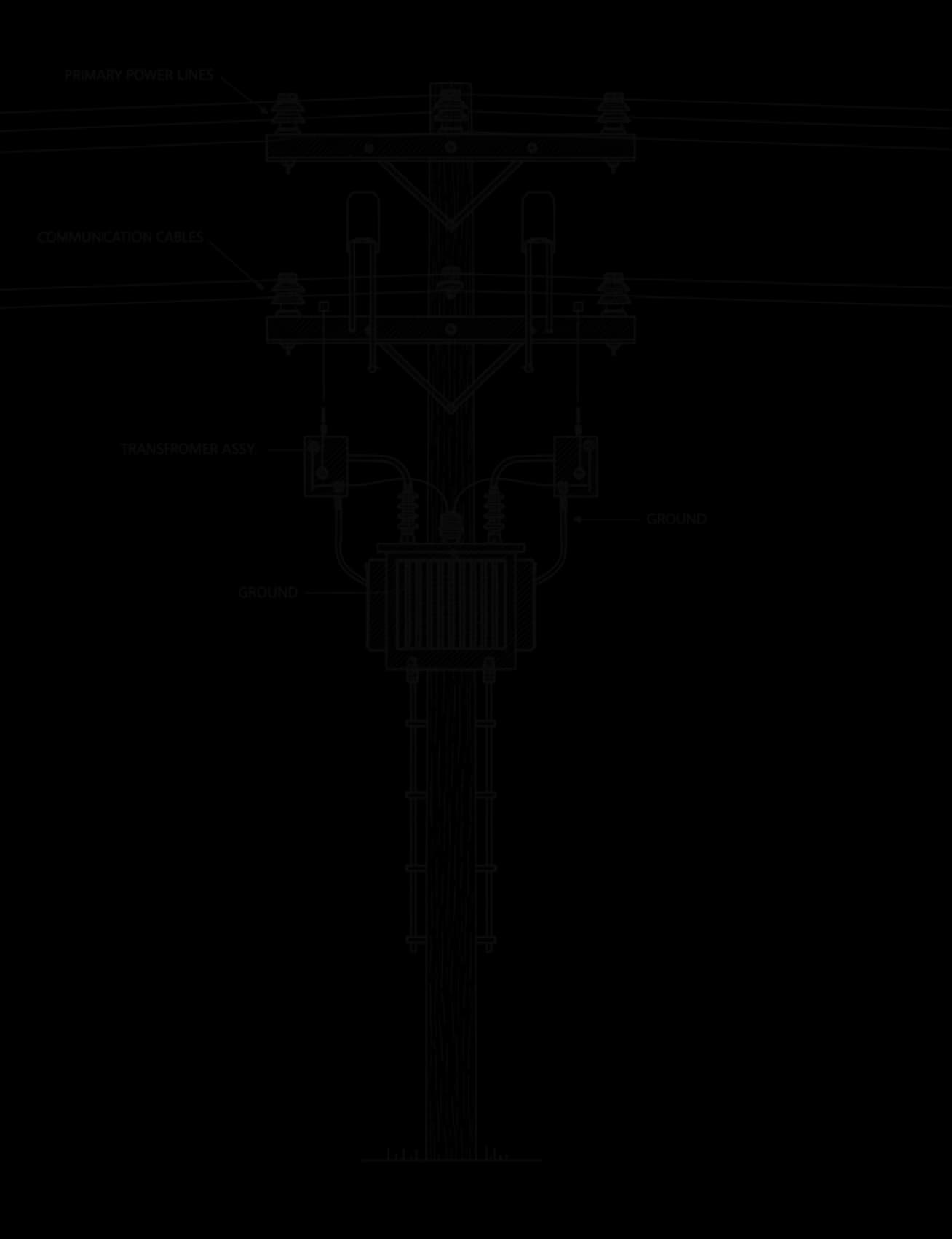
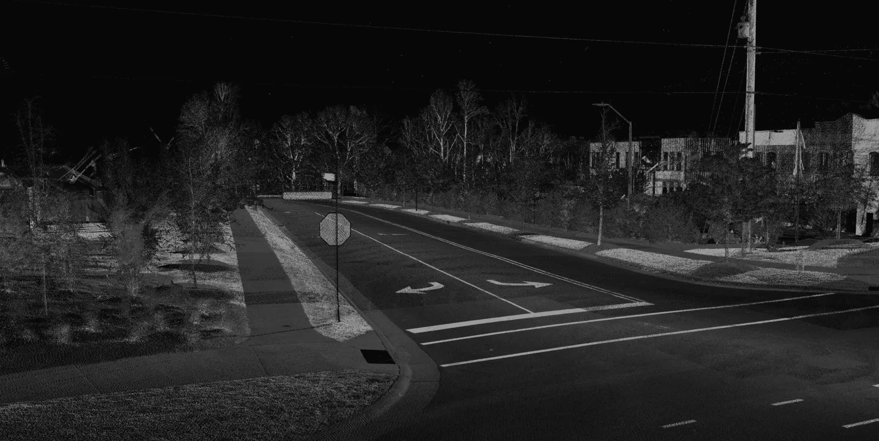
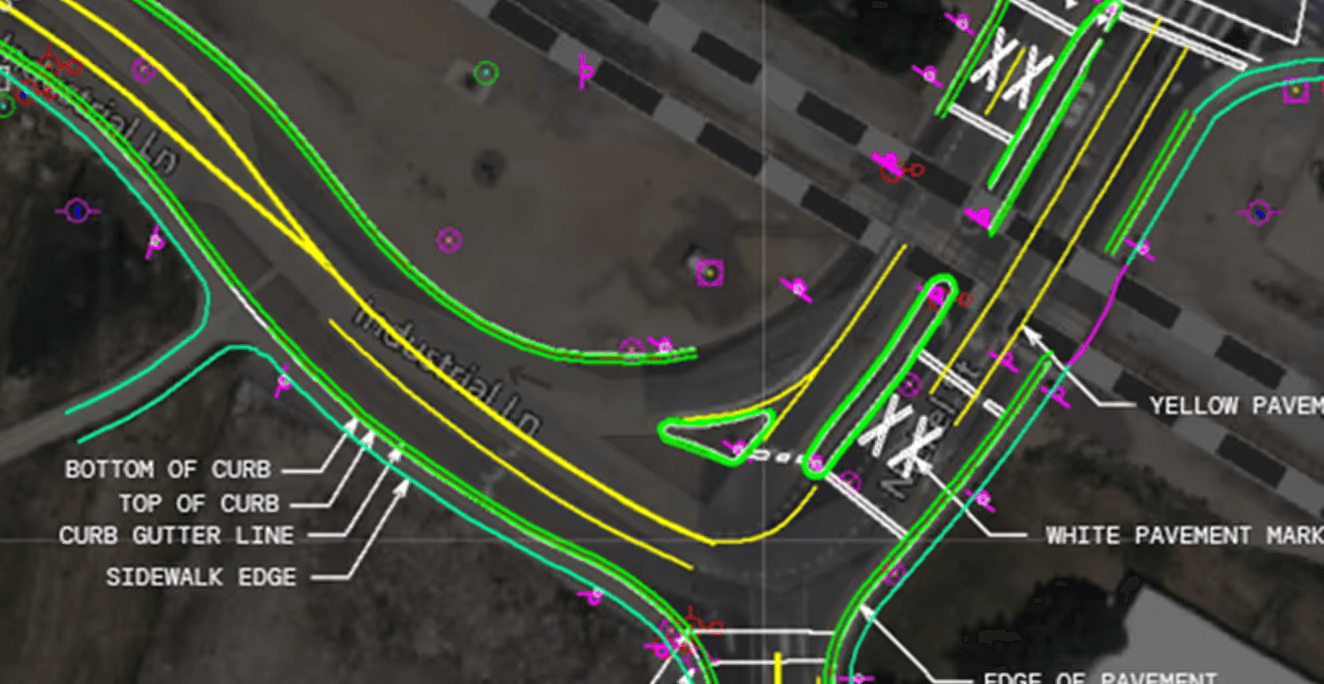
State-of-the-art ML models analyze the LiDAR data for line and point features like paint lines, curbs, and utility poles.
CAD workflows for design precision
Our CAD platform is built for technicians with the automation-assisted-extraction and manual tools needed to draft accurately at scale.
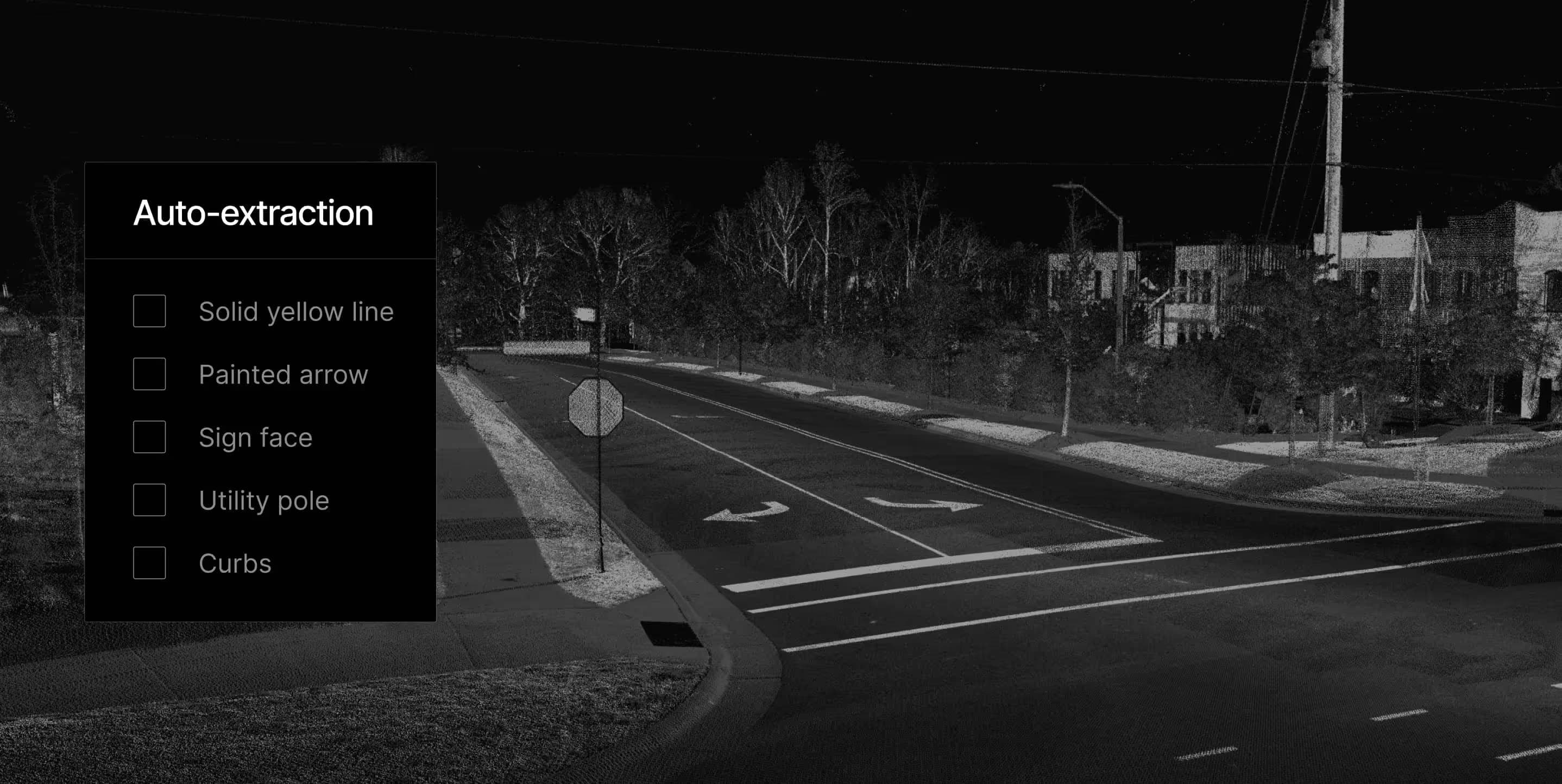
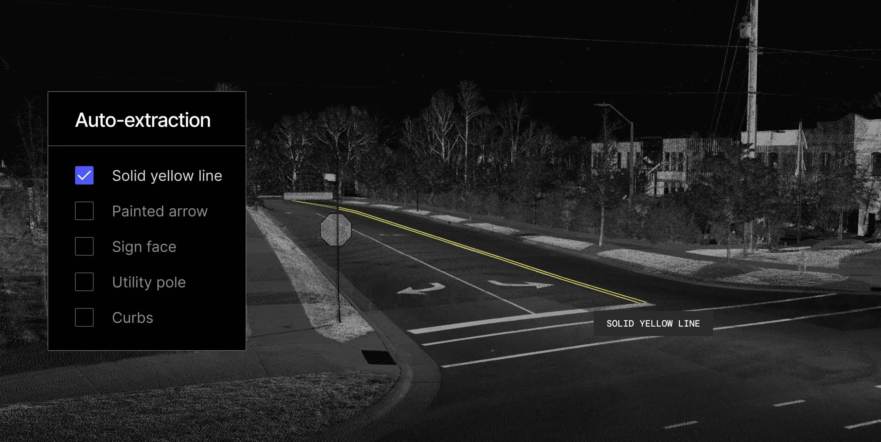
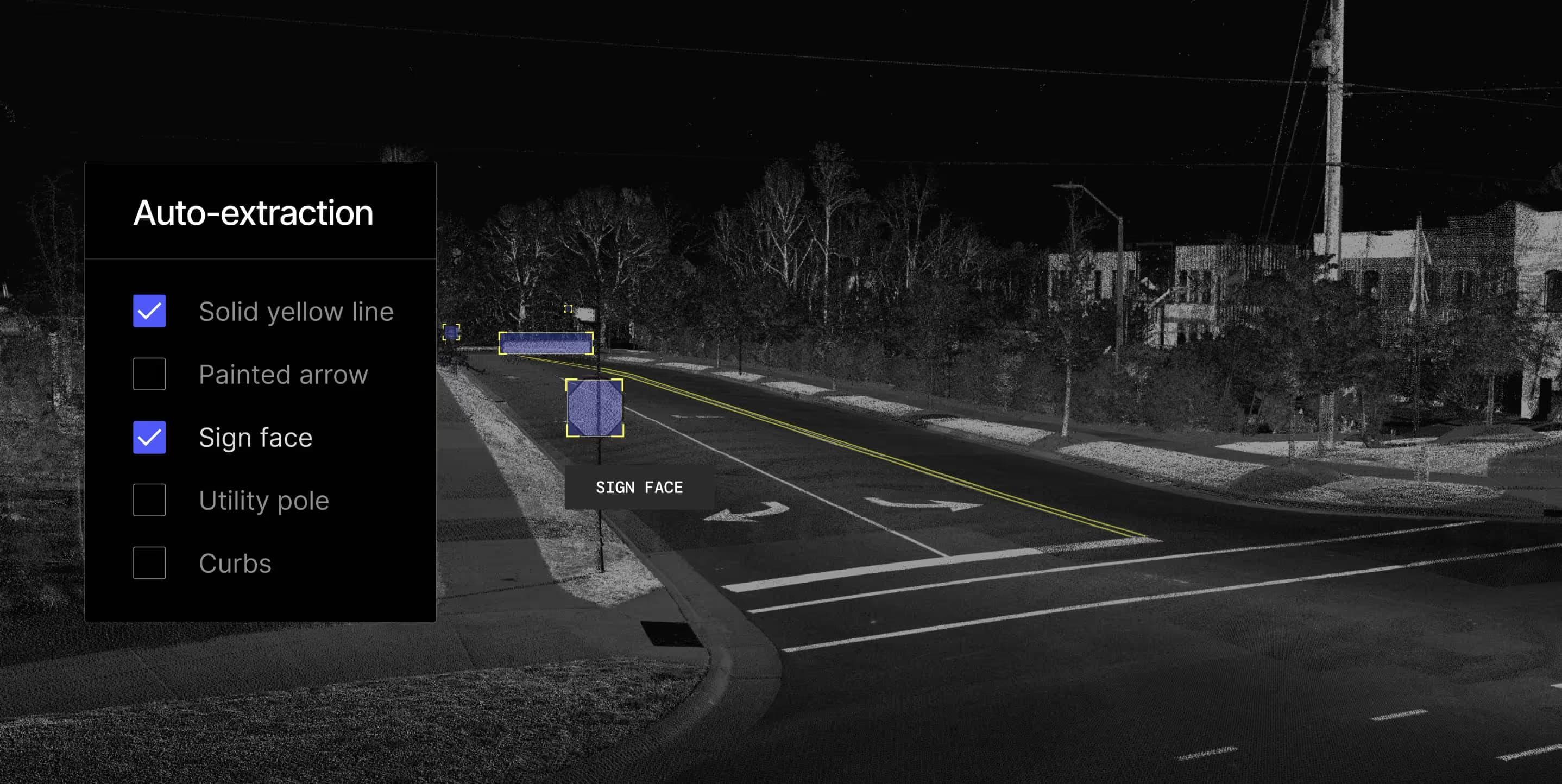
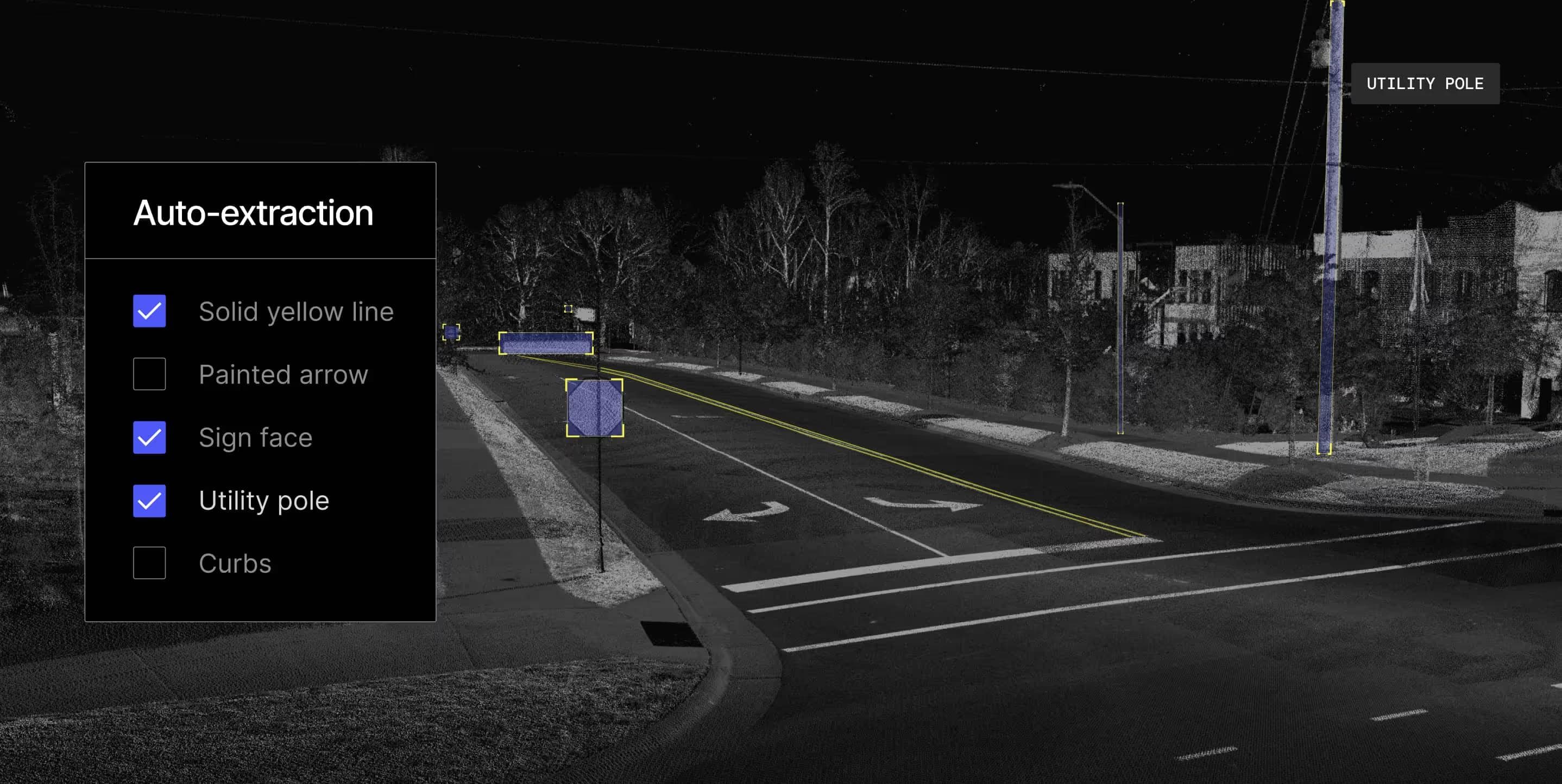
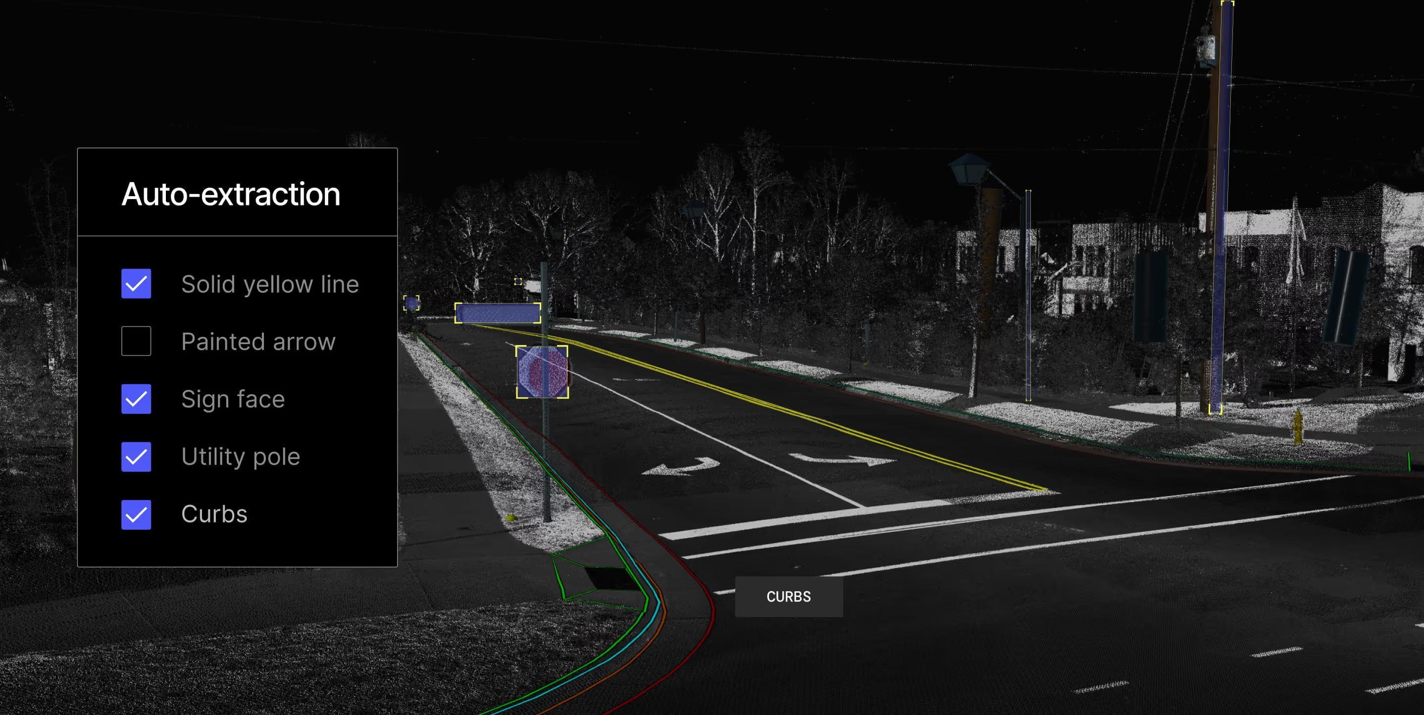
Choose how features are extracted — automatically, automated-assisted, or manual — so you always stay in control.
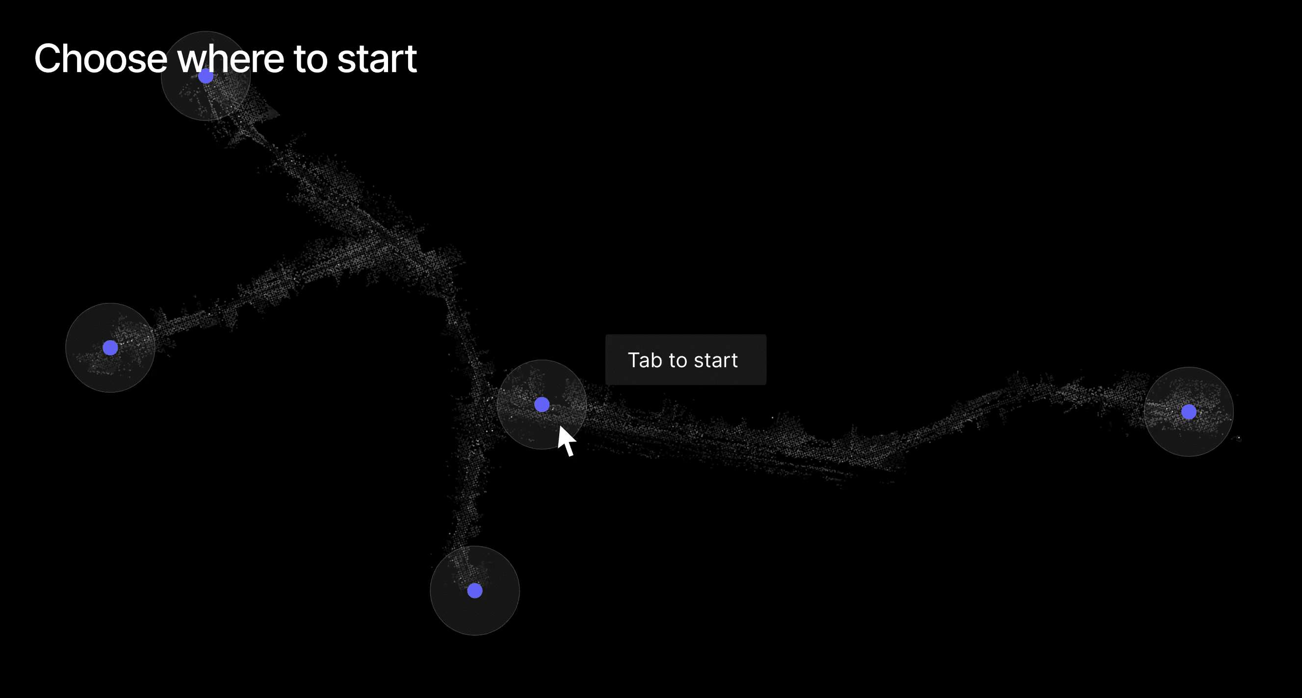
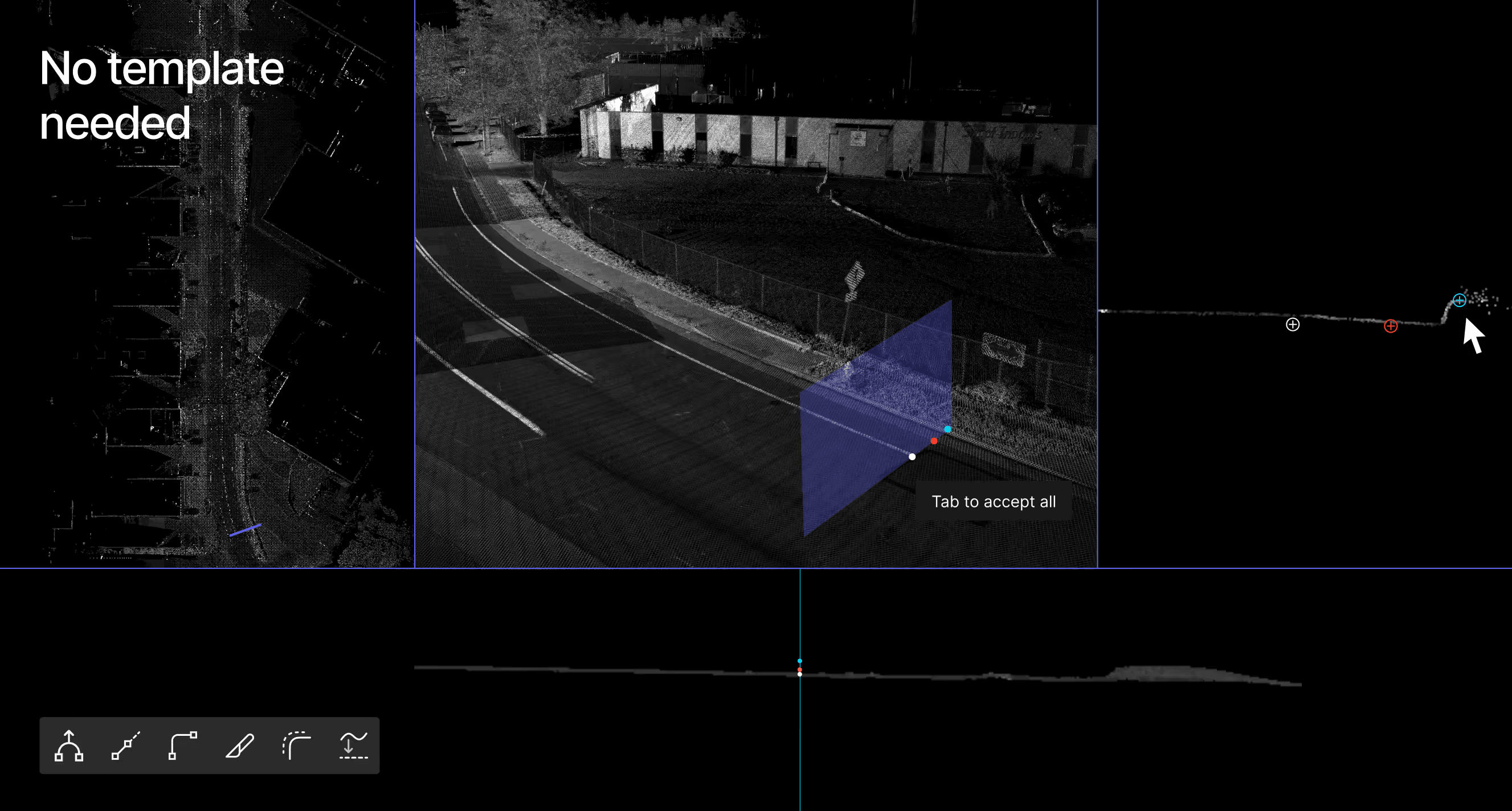
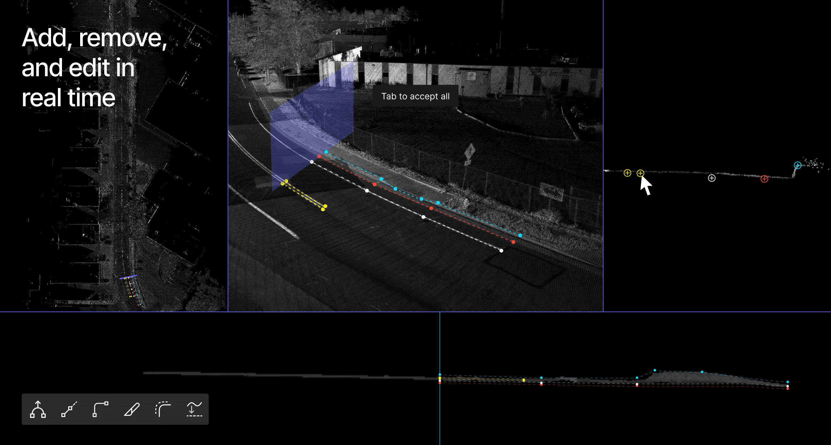
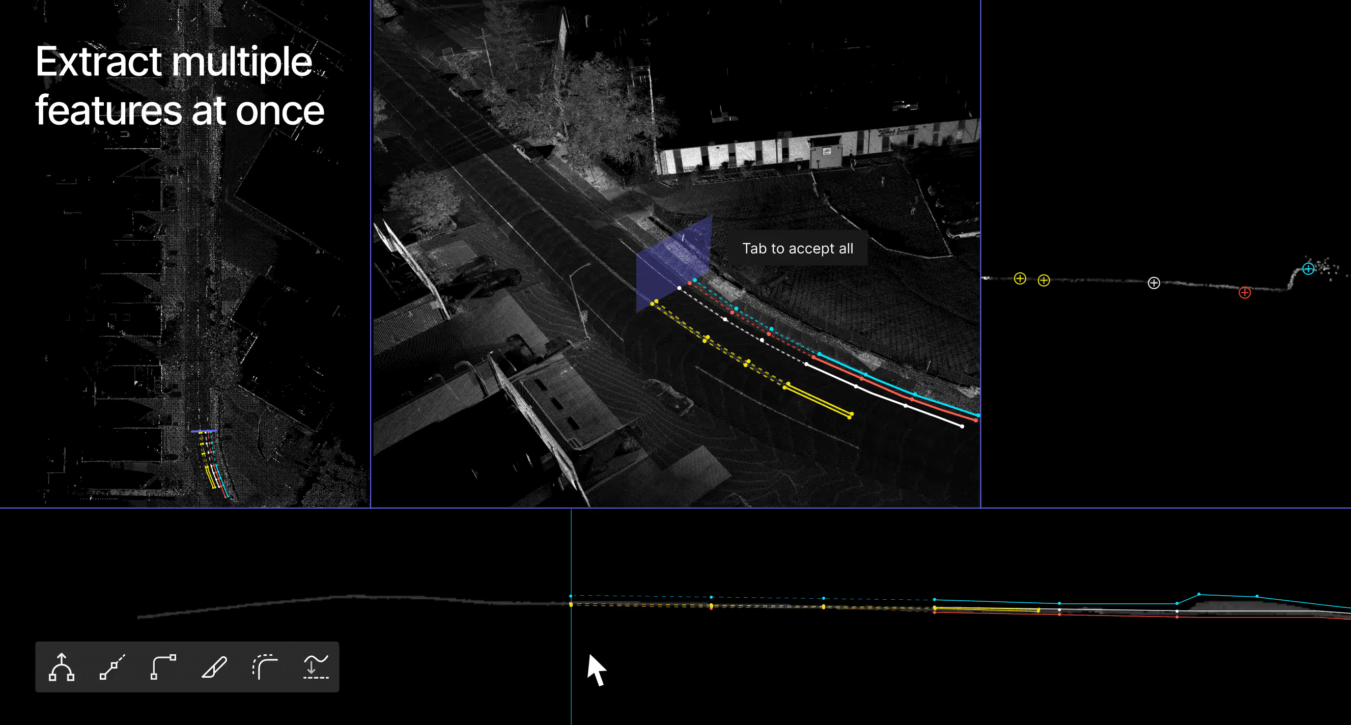
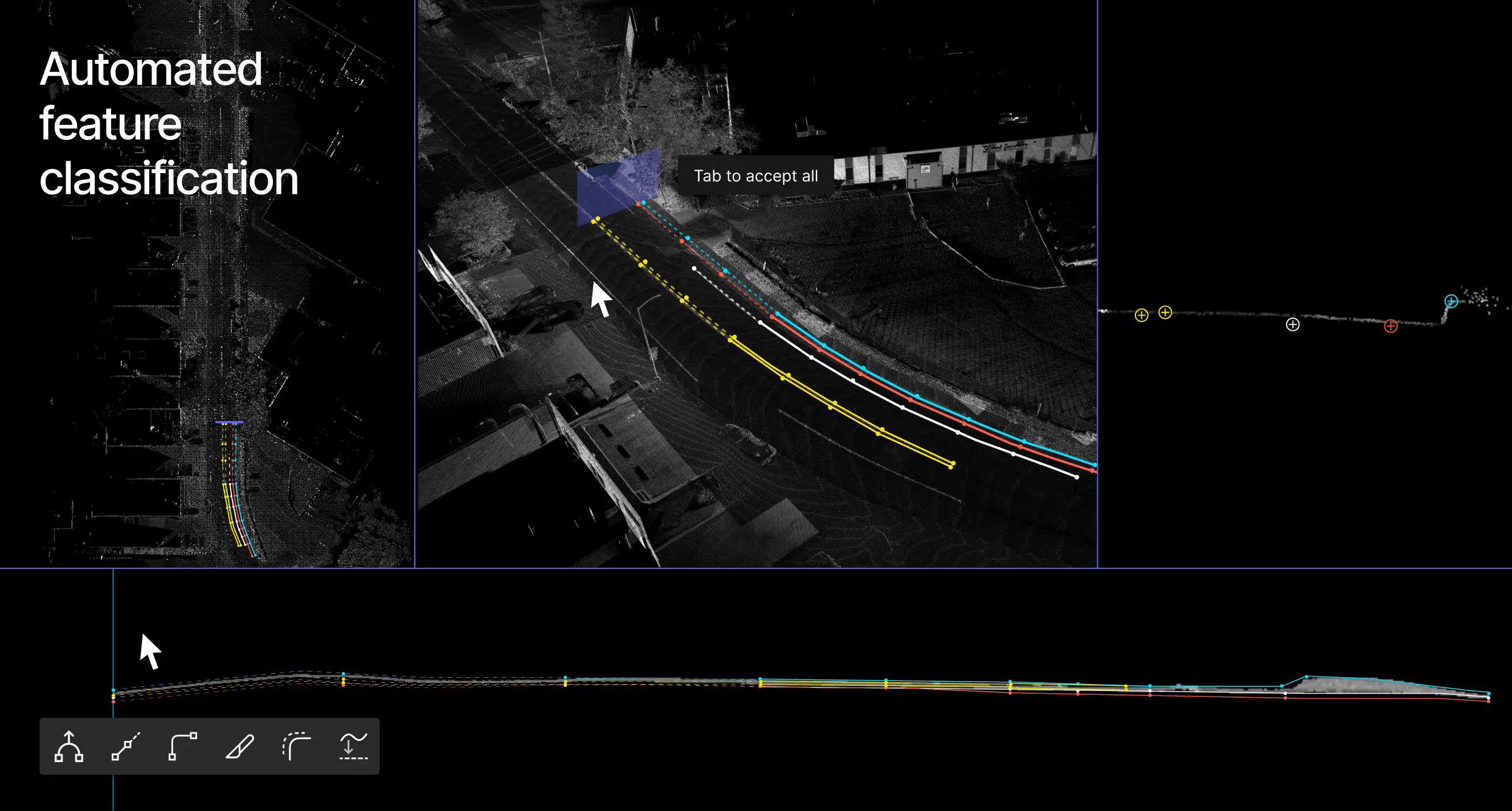
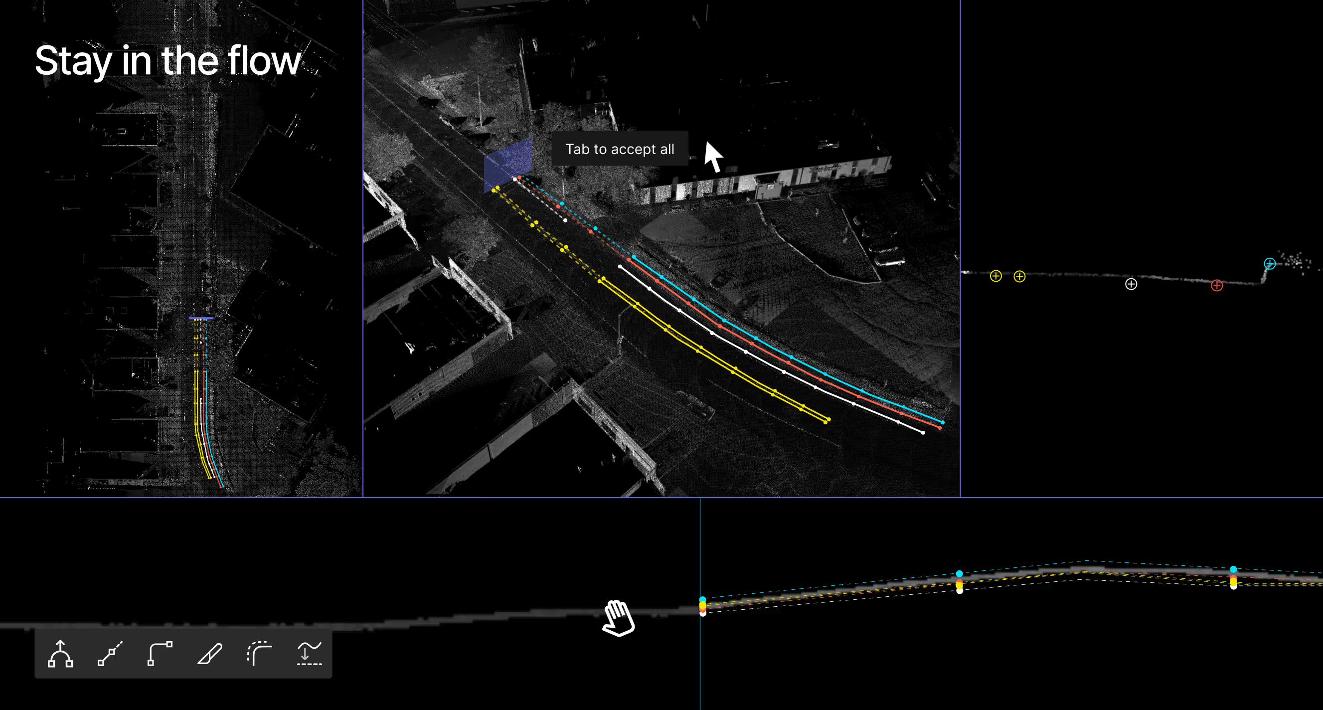
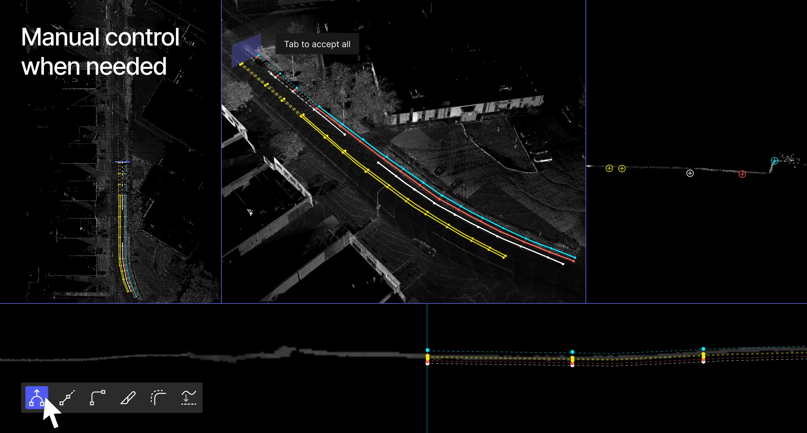
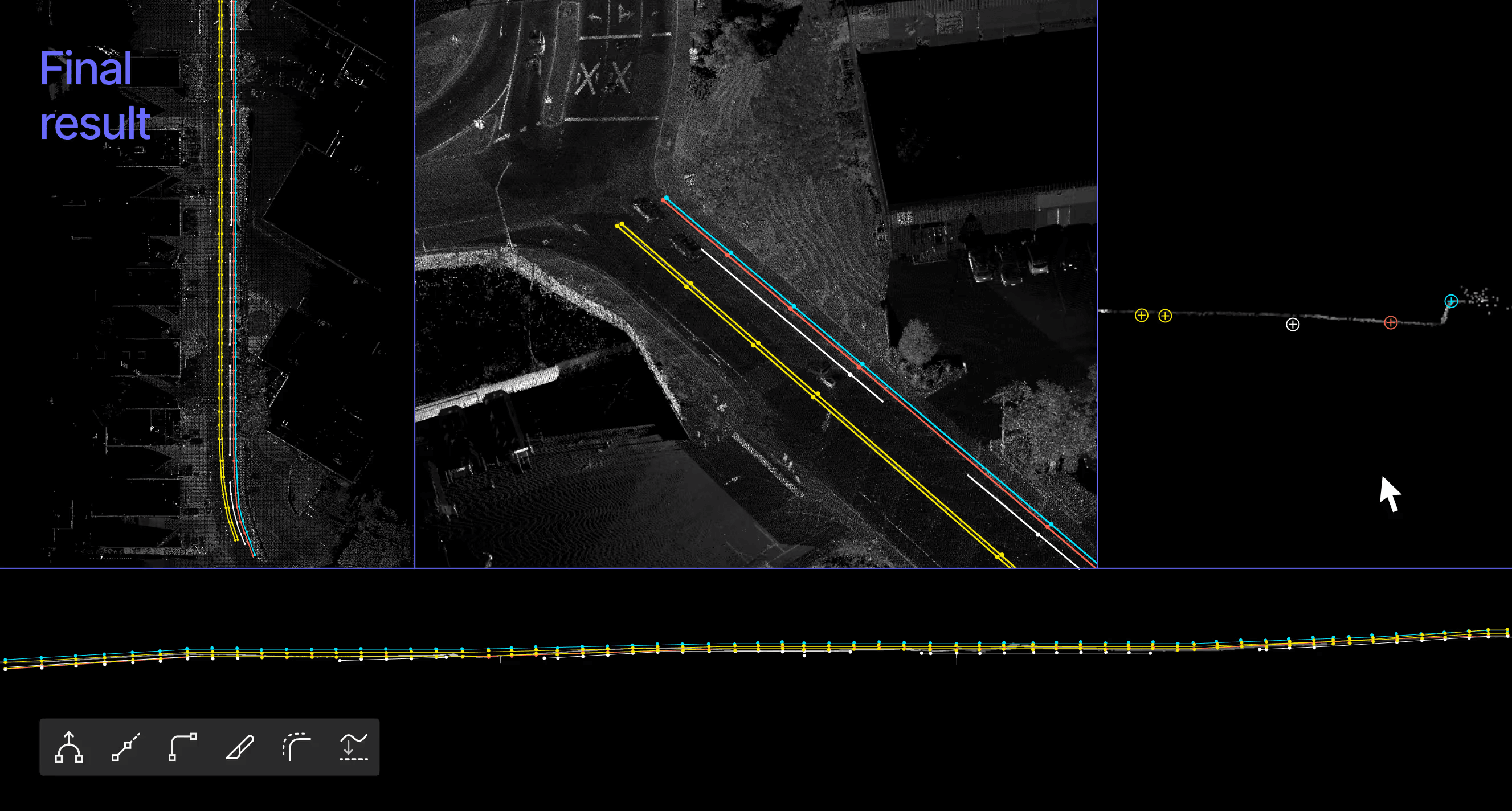
Automated-assisted workflows power-up your workflow — Digital Surveyor provides suggestions as you work to extract, validate, and adjust on-the-fly.
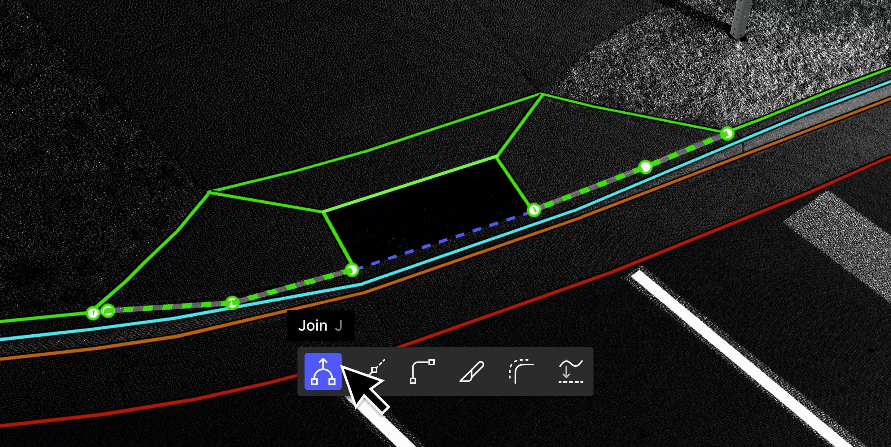
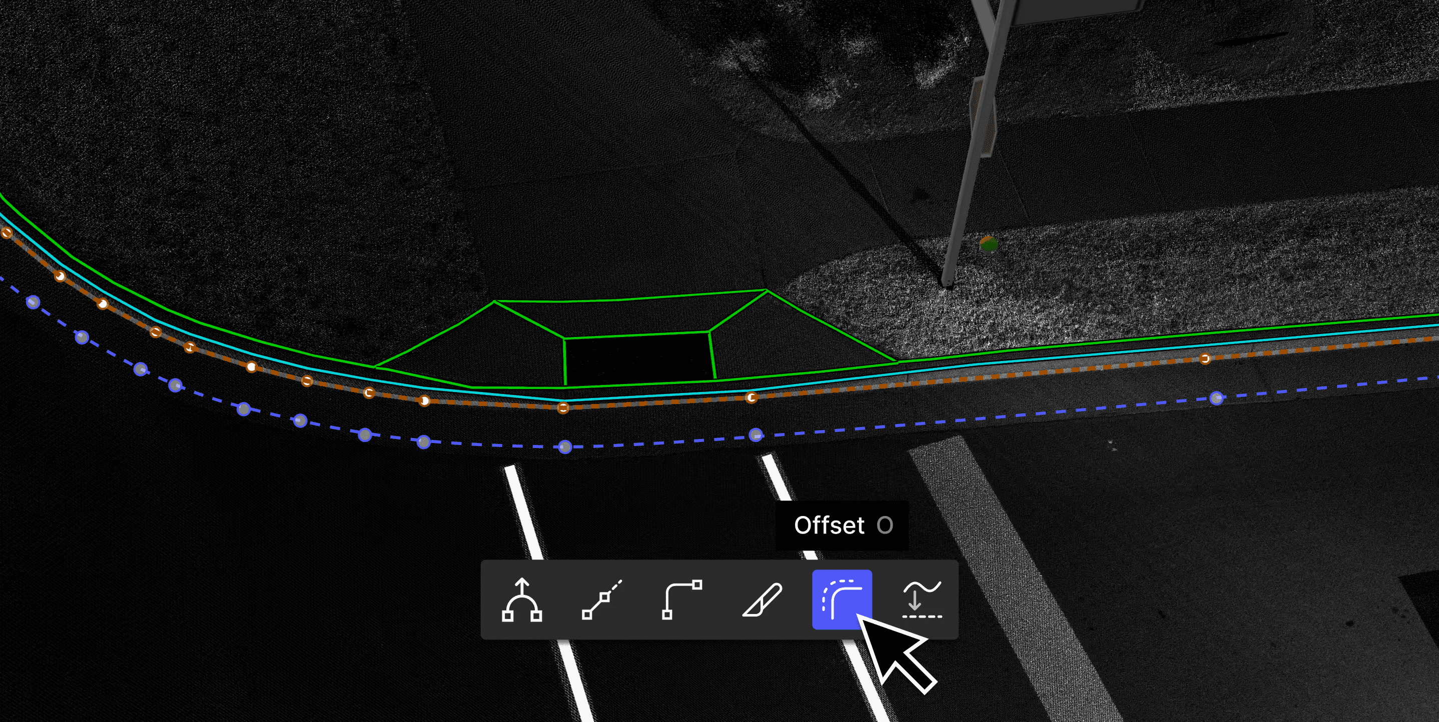
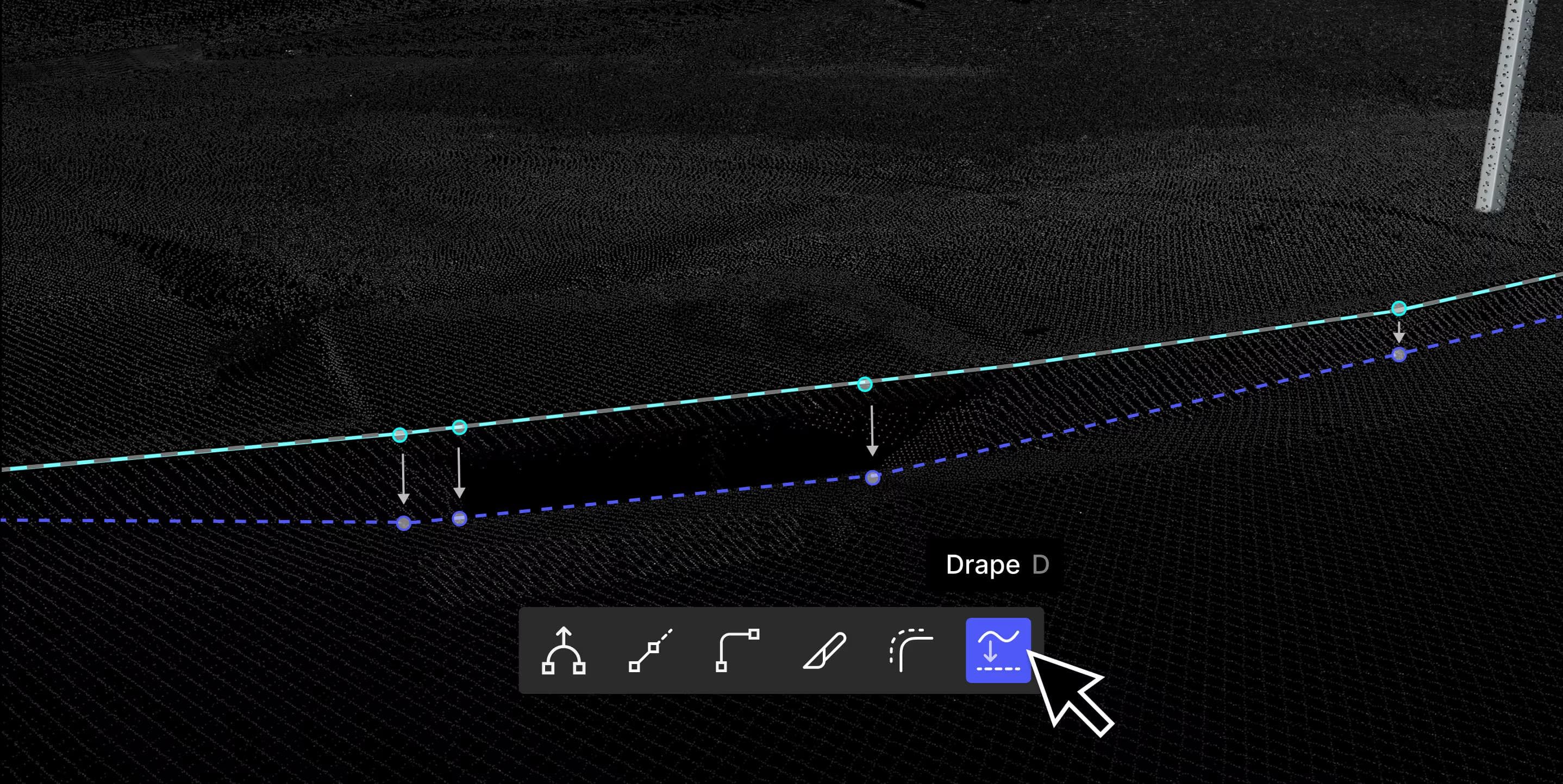
Equipped with all the essentials you expect from your CAD software so you can manually extract where needed.
Design-grade deliverables
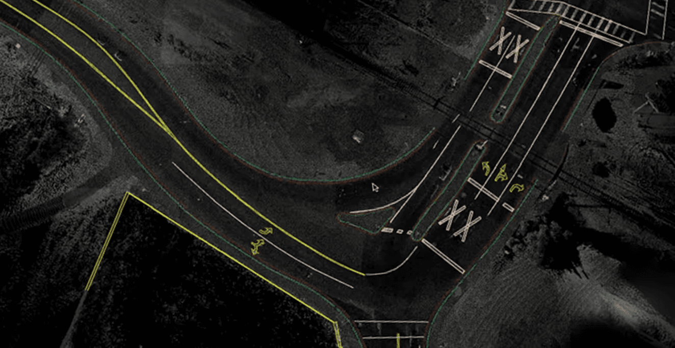
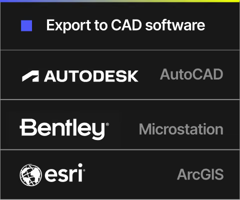
Export your extracted features to AutoCAD, Microstation, or ESRI Feature Service to create engineering-ready CAD and GIS deliverables.
Trusted by


Case studies

Turning Roadway Assets into Actionable Data for State DOT
Michael Baker International× Mach9
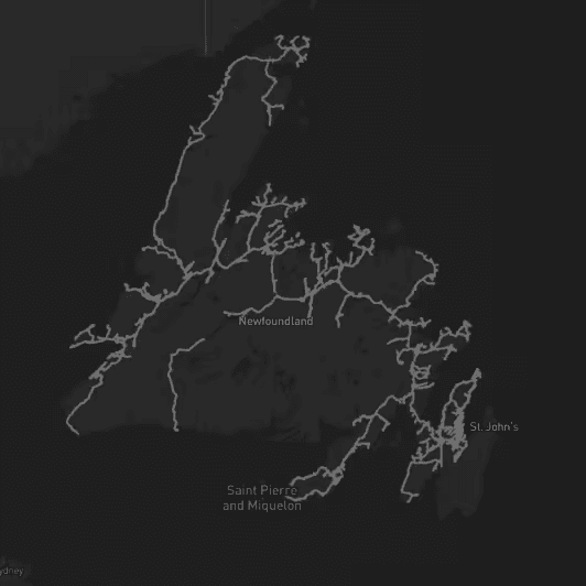
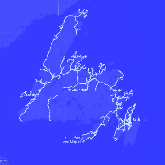
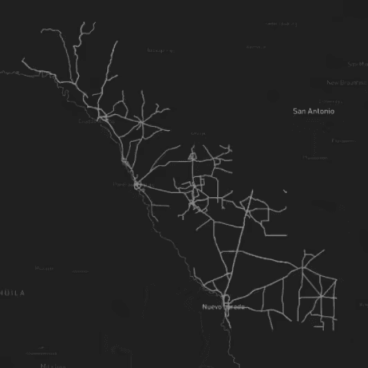
Accelerating Rural Broadband Expansion Through Automation and Visibility
Eagle Engineering and Consulting× Mach9
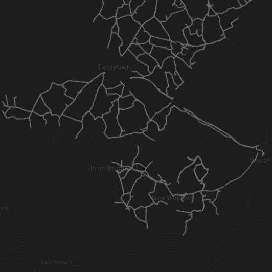
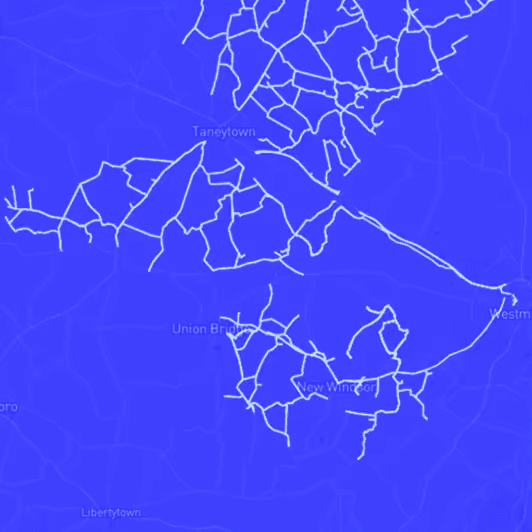
Data Collection First, Decisions Later: A Smarter Way to Design Broadband
Fibersmith Engineering× Mach9
Taking a Topographic Survey Start-to-Finish with Mach9 Digital Surveyor
Langan Engineering× Mach9
Supported scanning systems
Digital Surveyor works with the data you collect


Ready to deliver projects faster than ever before?
Cut down the time and cost of 3D mapping without sacrificing accuracy